
When we departed Balloon Fiesta RV Park, there were no
balloons that had launched yet. There was an interesting art exhibit on the
corner, and I was finally able to capture a picture while it was lit. We headed
south on Interstate 25 and then headed east on Interstate 40. We have to cover
almost 300 miles today, so Interstate is the only way to go. If it gets too
much, we can always exit onto Route 66 for a while. The early morning hour,
gave us some beautiful sights of the volcanos.

Known locally as the Albuquerque Volcanoes or the
Three Sisters. These are a classic and rare example of a fissure eruption. In
fissure eruptions magma rises along thin cracks in the Earth’s crust. These fissures
are over 5 miles long. Very long cracks like these may result in a row of
aligned eruption craters—all active at the same time. Such eruptions create
“curtains of fire.” Located near the middle of the Rio Grande Rift Valley. Thin
cracks opened deep into the Earth releasing molten lava while blocks on one or
both sides of the valley rise. The Sandia Mountains, just east of Albuquerque,
formed by uplift along a major fault that marks the eastern edge of the valley.
The Rio Grande Rift Valley extends from southern Colorado south to El Paso,
Texas.

Over the centuries the quiet yet massive presence of
the volcanoes has attracted many people to the area. This is a sacred landscape
to all Native people. Pueblo Indians of the Rio Grande Valley regard this place
as one of the last remaining undestroyed sacred sites in the area. The Pueblo
people believe the volcanoes and the petroglyphs pecked into the volcanic
boulders provide a direct spiritual connection to both their ancestors and to
the Spirit World, the place where time began. Western Pueblos, Navajos, and
Apaches believe these landforms were created by spiritual beings who lived in
the ancient past. These prominent landforms were also used as landmarks that
helped guide people who traveled long distances to trade or perform religious
pilgrimages. Hispanics view the entire West Mesa and the volcanoes as an active
site of religious ceremonials and as a living reminder of a cultural heritage
based on powerful spiritual ties to the Earth.

There were beautiful views of the Sandia Mountain
range, this morning too. An interesting fact about these mountains. The discovery
of giant human bones in a cave gave rise to a theory that a race of humans with
heights of 40-feet once roamed New Mexico. Some Petroglyphs in the area speak
about the giant men.

Along I-40, you come to Clines Corners, New Mexico. It
is not a town or a village, it is an "unincorporated community" in
central New Mexico. Clines Corners is a place where weary Route 66 travelers can
stop to fill up at the service station, eat at the restaurant and food court or
buy their typical southwestern souvenirs at the gift shop, the largest in New
Mexico. Just north of Pedernal Peak, in the empty area between Santa Rosa and
Moriarty. Roy E Cline set up his gasoline station and a café at the
intersection of New Mexico highways 6 and 2. In those days they were the link
between Moriarty and Santa Rosa and Encino with Santa Fe. At that time Route 66
had a totally different alignment, it ran north towards Las Vegas and Santa Fe,
in a wide arch between Santa Rosa and Albuquerque. To this day, it still
operates as a gasoline filling station, convenience store, cafe and diner.
Did I mention that traveling on an interstate, there
is a lot of nothing. Nothing to see, nothing to blog about, just nothing! But
you can make great time, since there is nothing!

We skirted Santa Rosa, New Mexico and learned that the
city is the “Scuba Diving Capital of the Southwest.” Wait, Santa Rosa is on the
Pecos River, you can’t dive in a river! The city owes a large part of its
designation to the Blue Hole. The Blue Hole is an 80-foot-deep natural artesian
spring. At a constant 62 degrees, it allows for year-round scuba diving. Also, Santa
Rosa’s stretch of Route 66 is forever memorialized in American film history in
Steinbeck’s epic novel, Grapes of Wrath. There is a memorable train scene, as a
freight train steams over the Pecos River railroad bridge in the center of
town.

Pecos River, is one of the major tributaries of the
Rio Grande and runs south in New Mexico before it enters Texas. Through most of
its more than 900-mile-long course, the Pecos River parallels the Rio Grande. The
principal cities along the river in New Mexico are Santa Rosa, Fort Sumner,
Roswell, Artesia, and Carlsbad; in Texas, the main city on the river is Pecos,
the Reeves county seat. In the early 1990s none of these places had a
population of more than 40,000. Oil is produced in the eastern portion of the
Pecos river valley, part of the Permian basin, and sulfur and potash are also
important products.

How quickly the weather changes! We went from sunny to
cloudy and foggy, just by going about 10 miles down the highway!

I am always saddened by seeing remnants of days gone
by. This looks like it used to be a small gas station. It could not compete
with the “big” guys and here is what is left from a family business and dream!

As we get closer to Tucumcari, New Mexico we are
getting back into farm country.

As we depart New Mexico, I snapped this
picture of the sign. I should share with you that 5th wheel in the
picture, are our friends Kent & Jan. They left after us, but as we pulled
back on from getting gas they are now in front of us, and have no idea we are
behind them! We are both headed to the same park for the overnight.

Hellllloooooo, Texas!

We past Jarvis Ranch and it made me think of our
friends, Ernie & Jane Jarvis. We miss camping with them!

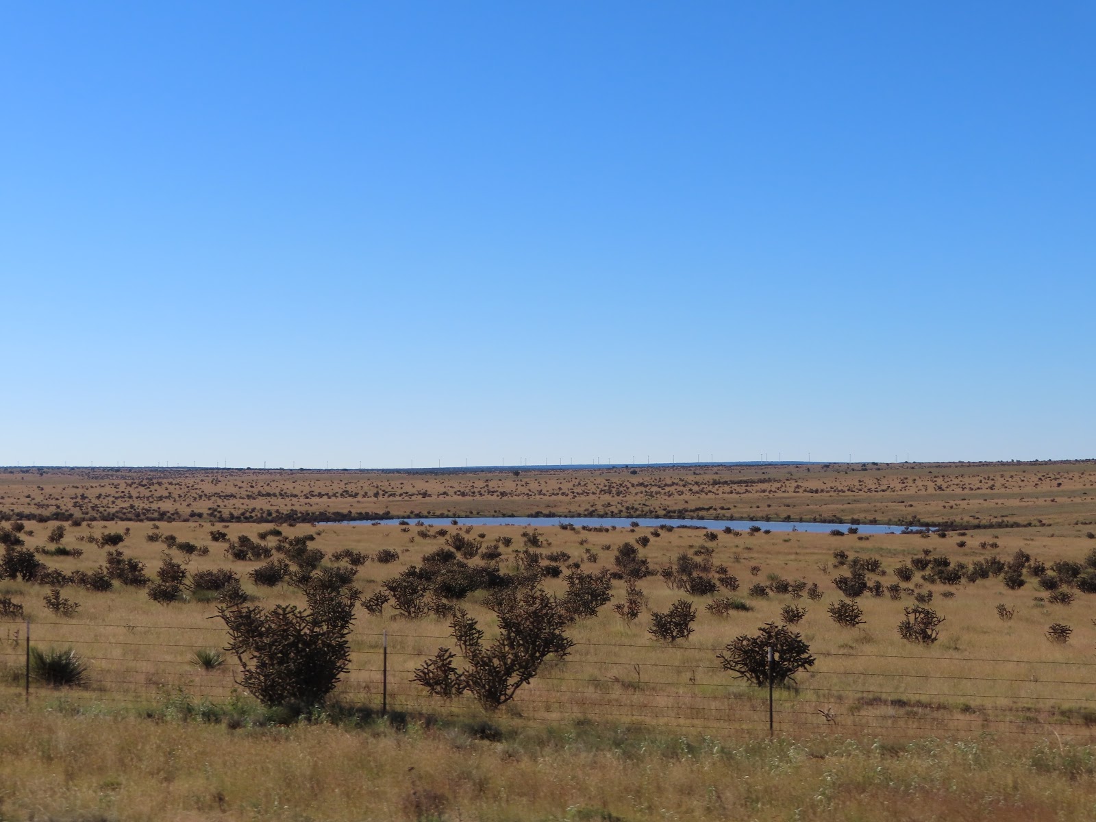
There were so many wind turbines, north of I-40
between Adrian and Wildorado Texas. I learned that five years ago, one wind
farm led to another. Spinning Spur I and then Spinning Spur II. Spinning Spur
II brought a new era in wind production. They began to move power from the
Panhandle, with its tremendous production capabilities, to the Electric
Reliability Council of Texas grid where the demand for power is great. The
Electric Reliability Council of Texas runs the electric grid that covers about
75 percent of the state but not the Texas Panhandle. It includes the state’s
largest cities.

Sharyland Utilities and Cross Texas Transmission built
the transmission lines in the Panhandle to connect to that grid. The Spinning
Spur wind farms are owned by EDF Renewable Energy, the US subsidiary of EDF
Energies Nouvelles which is based in France. The first Spinning Spur project
sells its electricity for local consumption to Southwestern Public Service, a
subsidiary of Xcel Energy, under a 15-year purchase agreement. Each wind farm has
a capacity of 161 megawatts. A megawatt is enough electricity to supply about
350 average homes.

We had to drive through most of Amarillo, Texas to get
to our overnight stop.

We arrived at the Amarillo Ranch RV Resort and were
welcomed by a large American flag.
No comments:
Post a Comment