


We only traveled on I-25 for 10 miles, we turned onto US 285 South our first of many two-lane roads for this adventure! We were happy to see that the "PG" signs turned onto US 285 with us!

 We passed the Galesteo Basin Preserve on US 285. The Galisteo Basin Preserve is a 13,200-acre conservation-based community development project located 15 miles southeast of Santa Fe. It is an area of exceptionally fragile and ecologically significant land and water resources, the Galisteo Basin is internationally celebrated for its spectacular scenic, cultural, and wildlife habitat. The vast majority of the Preserve—approximately 12,000 acres—will be permanently protected and restored. More than 50 miles of hiking, biking, and equestrian trails are planned to wind throughout the Preserve and connect to trail networks linking to the City of Santa Fe.
We are getting close to something ... the speed limit decreased and we saw this special event sign.

 There is not much on this two lane route, except lots, lots and lots of unique working windmills. I mean lots of windmills. I did not take pictures of all of them just a few!
That is OK with us, we like windmills. The working windmill at the Hemlock Fair grounds is one of my favorite pieces at the fairgrounds!

 You can see what theses working windmills do, as the cattle is gathered around the water basin that this windmill fills for them!
 The "PG" signs finally stopped.
 There was one tent and then a mile or so later, there was another tent.

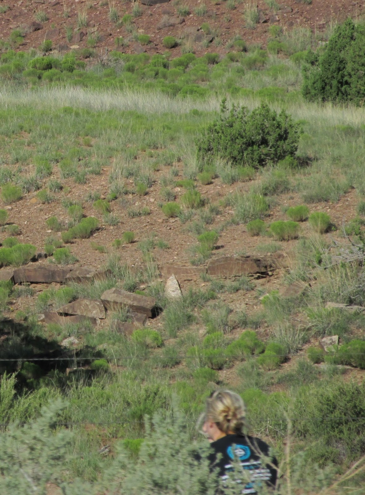
There was one lady sitting on the side of the road, I don't know what she was hoping to see ...

 I zoomed as much as my camera could and only saw several 4-wheeler. Oh, well we will have to see what comes out with a southwestern background.
On our way out west on Route 66, we passed by Clines Corner, but did not stop. This time, we were ready for a break. Cline's Corners is a prime example of perseverance and Roy Cline indeed persevered throughout the years.


We saw this snow fence along the road on US 285 and Charlie could not stop laughing. We are used to seeing snow fence in New York and most New England states, but you usually don't think about that much snow falling in the southwest! But, the wind was blowing across this road while we were driving.


US 60 East is almost as straight as Route 471 in central Florida. Route 471 in Florida is straight and flat. At least US 60 is straight, but has a few ups and downs!


Yeso, New Mexico was a small town on US Route 60 we passed through, after US 285 split off. This big town had a post office, two houses and old stone buildings that are in bad shape. How do towns this size rate a US Post Office?

Between Vaughan and Ft Sumner, there was no traffic heading
east, with us and only 7 vehicles passed us heading west (3 tractor trailers, 2 campers
and 2 cars.) There was some cattle and horses, but not much else! This is another reason we like to travel on the two lane roads!
We arrived at Travelers World RV Park for the night, in Clovis New Mexico. It is our home for just one night! We are about 10 miles from the New Mexico Texas border.
No comments:
Post a Comment