
One of the greatest things about Bayfield Riverside RV
Resort was the humming birds. They were everywhere! The owner’s house had many
flowers and feeders. The humming birds swarmed around there all day and night! These pictures are from two feeders next to our friends, Rick & Donna’s trailer.
 Hummingbirds are small, colorful birds with iridescent feathers. Their name comes from the fact that they flap their wings so fast (about 80 times per second) that they make a humming noise. Hummingbirds can fly right, left, up, down, backwards, and even upside down. They are also able to hover by flapping their wings in a figure-8 pattern. They have a specialized long and tapered bill that is used to obtain nectar from the center of long, tubular flowers. The hummingbird’s feet are used for perching only, and are not used for hopping or walking.
We departed Bayfield Riverside RV heading east on
Route 160. We had the "tail-ender," Bill Foster, on the road to ensure it was clear to turn left as each of us arrived at the exit to the park. We left the park at 9 am and there was concern that the traffic might not be conducive to our choice of routes. Our feelings turned out to be false, we all were able to exit the park and make a left hand turn onto Route 160.

Following Route 160, we passed by mountains and evergreens on every
corner! It is amazing how you can go from so much tan, red and browns to these lush greens.

I love the roadside yellow flowers and continue to
photograph them! These yellow roadside flowers are almost as plentiful as the orange lilies are on the roadsides of Upstate New York. I am not sure what these are ... wild sunflowers, black eyed Susans, or just a yellow flower?
 This route has many old barns. I believe that even today the rural barns represents an image of an American icon, the farmer. Just as many farmers built their barns before they built their houses, so too many farm families look to their old barns as links with their past. Old barns, furthermore, are often community landmarks and make the past present. Such buildings embody ethnic traditions and local customs.
They reflect changing farming practices and advances in building technology. In the imagination they represent a whole way of life.
Unfortunately, historic barns are threatened by many factors. On farmland near cities, barns are often seen only in decay, as land is removed from active agricultural use.
 In some regions, barns are dismantled for lumber, their beams sold for reuse in living rooms. Further threats to historic barns and other farm structures are posed by changes in farm technology, involving much larger machines and production facilities, and changes in the overall farm economy, including increasing farm size and declining rural populations.


This route had a variety of beautiful ranch entrances. Long ago there was a reason for the prominent ranch gate. For years before that, the ranch house had stood alone amid a vast, unfenced range. Since there were no well-defined roads, the owner built his house to face the prevailing breeze or a scenic vista, or to take advantage of the best point from which to oversee his livestock.
 Visitors, especially strangers, who approached from the open range had to determine the architectural face of the house as they got closer or their intentions were questonable. When barbed wire had crisscrossed the plains, ranchers began to fence their property to protect their grass and water and to fend off Indians, farmers, and squatters. Fencing required more entrances to the ranch, and so the rancher had to leave makeshift gates along the wire, called gaps, for passage from pasture to pasture.
 Since the house might be miles from the gate and out of sight, a landowner needed to distinguish the gap leading to ranch headquarters from those leading to pastures, bunkhouses, corrals, and barns, so he marked the main gate with handy discards and found objects like broken wheels, cow skulls, and rocks. The ranch gate became a marker directing the traveler to the house.
  The most visible landmark on an otherwise featureless prairie, it alerted the traveler that a friendly face could be found nearby. As more ranches sprang up and public roads developed, the ranch entrance became its owner’s trademark. Displayed on the gate were signs advertising a particular breeding stock; the name of the ranch, or its shorthand form, the brand; and the date the ranch was established—the earlier the date, the greater the rancher’s clout.


Route 160 takes us past Pagosa Springs, home to the deepest hot springs. When the first white men came across the Great Pagosa Hot Spring over 150 years ago, they noticed the ground around the pool to be packed by human foot prints with paths radiating out from the 75 foot diameter bubbling pool like spokes from the hub of a wheel.
 |
| photo credit homeaway.com |
Native Americans had been enjoying the waters of this natural hot mineral spring for generations before others found the special waters. The ancient native legend about the discovery of The Spring tells of a plague which devastated the tribe and thwarted the concoctions and powers of the Medicine Men. A plea to the gods was in order and the tribe gathered along the banks of the San Juan River to participate in prayer ceremonies and fire dances. They worshiped, prayed and danced until they all fell asleep from exhaustion. The next morning they awoke to the sounds of bubbling water coming from beneath the coals of their burned out ceremonial fires. They saw this as the gods' answer to their prayers and began to bathe their sick bodies with the warm water. Suddenly, their afflictions were cured! They called the cauldron "Pah Gosa" from the Ute words, “Pah” meaning water, and “Gosa” meaning “has a bad smell” and the great spring became a sacred place of peace and healing.

After Pagosa Springs, we turned South onto US Highway 84. It was a good road, with some winding slow climbs and beautiful valley view!

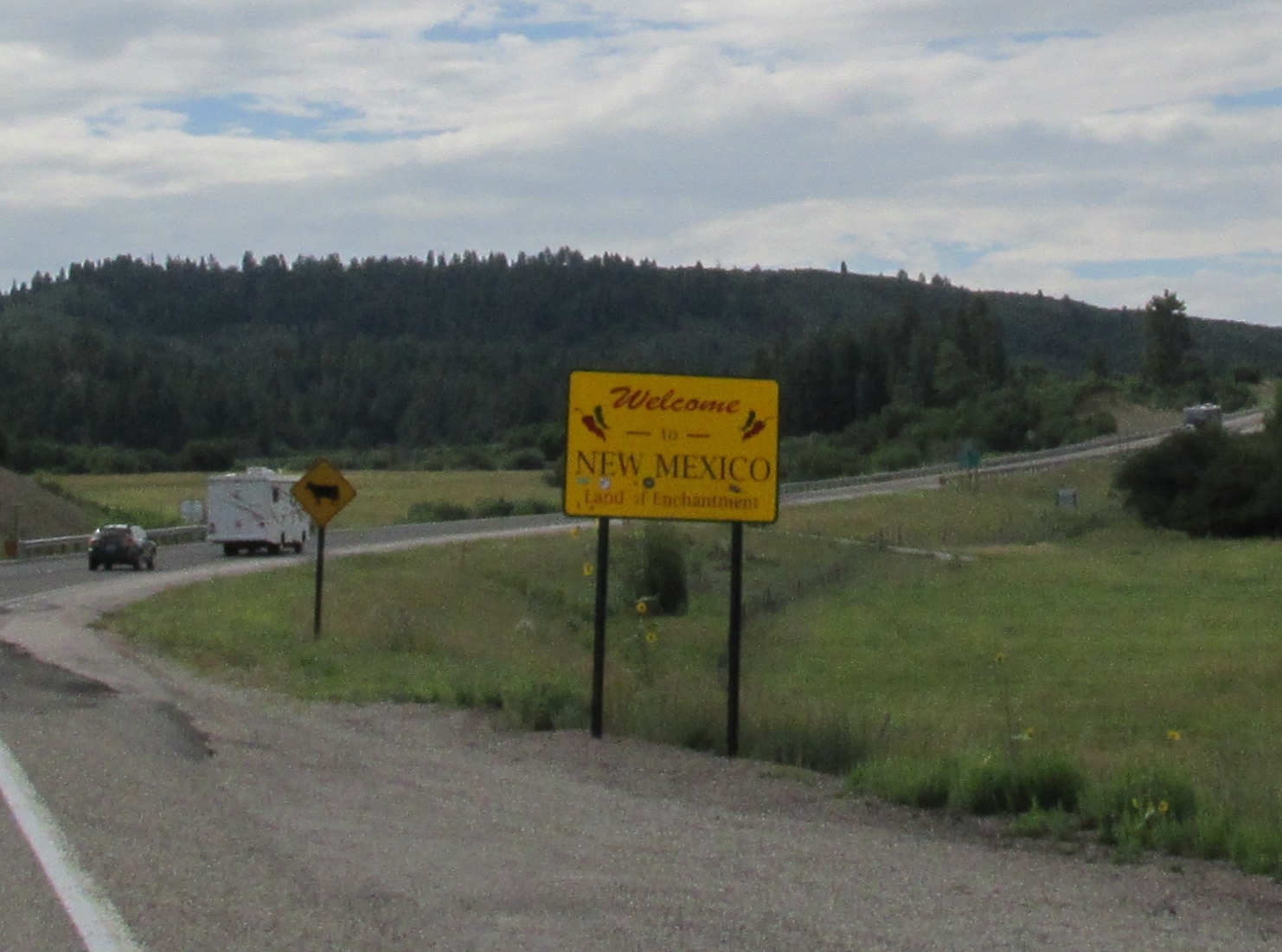
We crossed the Colorado - New Mexico border into the Chama Valley.
About 6 miles south of the Colorado–New Mexico state line, US 64 comes from the west and joins with US 84. A few miles east of this intersection, the roadway crosses the Continental Divide at Sargent Pass, elevation 7,718 feet above sea level or more than 3,100 feet (940 m) lower than Wolf Creek Pass, the next Continental Divide highway pass to the north. Little know fact, only 34 miles of US 84 is located west of the Continental Divide. The Continental Divide, the mighty invisible line that runs along the top of the Rocky Mountains and determines whether water flows west to the Pacific or east to the Atlantic.

About 12 miles east of the Continential Divide, US 64/US 84 enters the town of Chama.
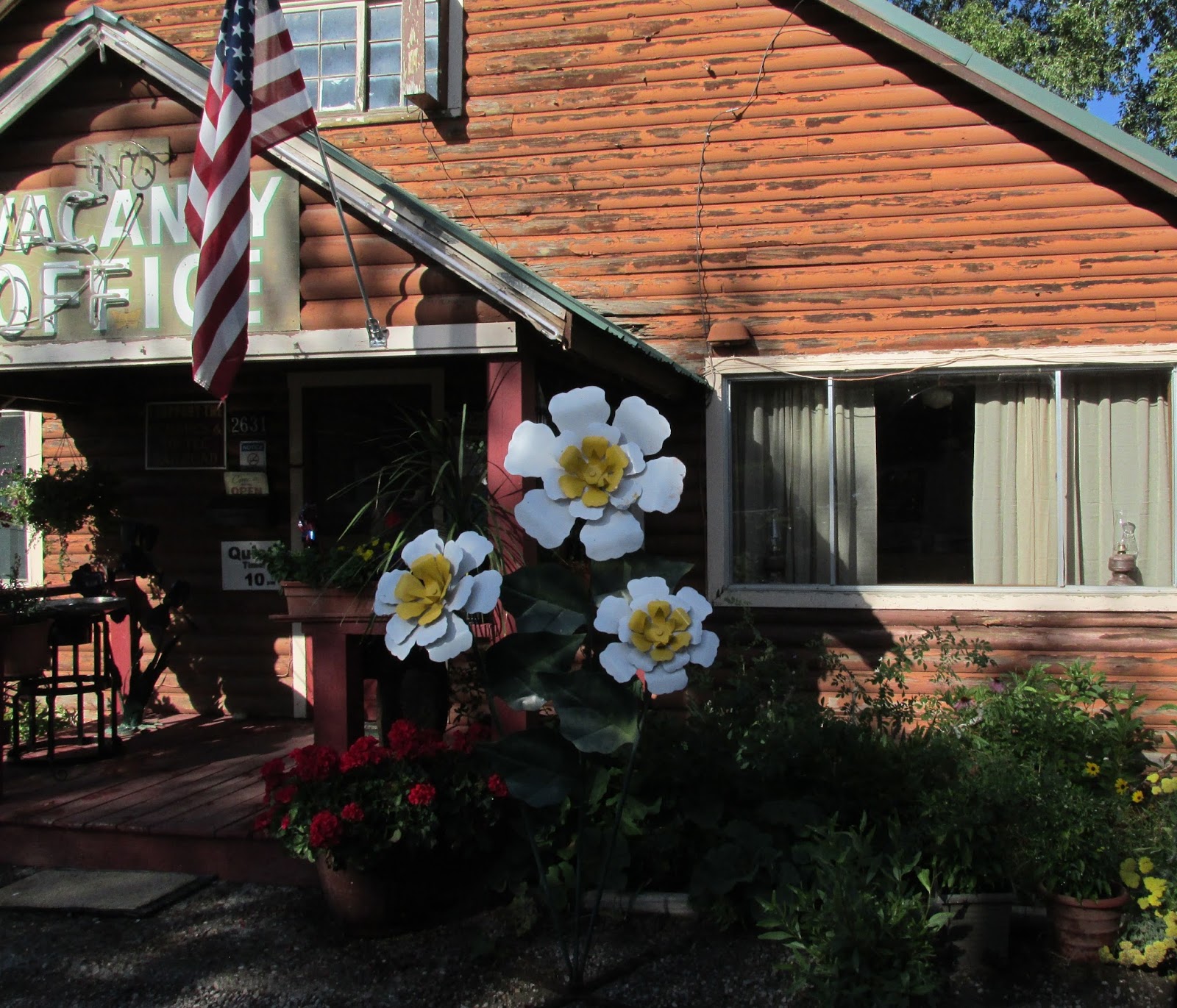
Where we arrived at our temporary home for the next two nights. The Little Creel RV Resort.
No comments:
Post a Comment