
Today we depart Mesa Verde RV Resort between Cortez and Mancos Colorado. The campground we are heading to have been very
accommodating. There check-out time is noon, so the owner is calling our
wagonmaster as sites are ready for us to occupy.

There is a blind hill above the entrance / exit of our
current campground. So, Charlie and I drove up the road to Mesa Verde National
Park and stationed ourselves at the crest of that hill, so we could see what
traffic was coming, to aid the people exiting the park. This was our view for the two hours we helped get people out of the campground.
The first group left Mesa Verde RV Resort at 9 am, with 8
RVs. The second group headed out at 9:30 am with 4 RVs. The third group left at
10 am with 6 RVs. The last group, including us, left at 11 am with the last 8
rigs.

The Hogan, is a souvenir shop that has a unique motif. Out
front, telephone poles have been fit with giant arrowheads, and stuck into the
ground at a 45 degree angle. In between them are several wigwams. The effect is
that of a cascade of massive Indian arrows heaved at the business.

Mancos was the next town we came to. The RV resort we were
staying at had a Mancos mailing address. Mancos was founded in 1894, though
cattle ranchers had been settling the Mancos Valley since the 1870s. Before
then, the area had been a part of New Spain and Mexico, and had been inhabited
by the Ute and Navajo people. The name “Mancos” comes from the famous
Dominguez-Escalante Expedition of 1776, though the reason for the name remains
unclear. Somewhere in the town is the point at which the Expedition crossed the
Rio Mancos on its way to California from Old Mexico.

At the time it was
founded, Mancos served as the primary commercial trading center for eastern
Montezuma County. At that time, the City of Cortez, now the County seat, was
barely a bend in the wagon trail. Mancos was a stop along the Denver, Rio Grande
& Southern Railway, connecting to Durango to the east, and to the Telluride
mining districts up north, via Dolores. Ranchers in the Mancos Valley provided
beef, timber, and other agricultural products to the mining camps.
Mancos has unique metal signs in the shape of Colorado with
a cut out of a cowboy on a horse.

There nice murals in Manco too. Here are two we saw!

A cattle round up on the side of a liquor store ... should have been on a butcher shop!

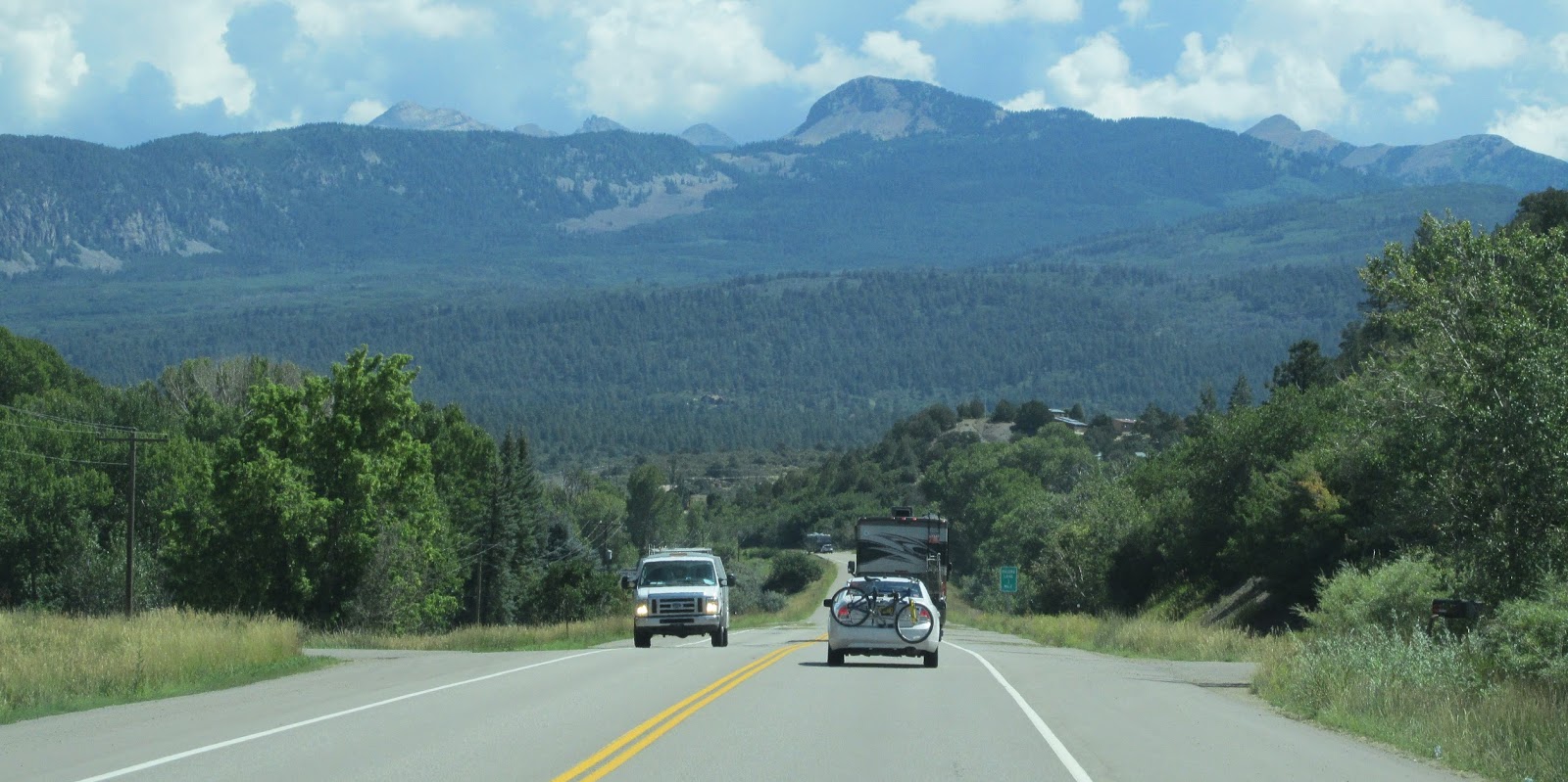
US 160 is also known as the San Juan Skyway, between Cortez
and Durango, Colorado. Durango is the largest city on San Juan Skyway. The San
Juan Skyway is actually a loop you can travel. It would be nice to do it someday.

Most of the day, we traveled along the edge of San Juan
National Forest. The forest covers almost two million acres in the southwestern
corner of Colorado. The San Juan Forest covers ten counties of Colorado. As you
start the climb upwards, one of the turns gives you a view of the beautiful La
Plata County valley a lush green valley, surrounded by mountains of grey stone
and forest.

We passed by a pull-in area for Escalante Wayside marker. Between
August and December, 1776, Dominguez and Escalante and a small group of men
attempted to find an overland route between the Spanish villages in New Mexico
and the Spanish missions in California. The expedition crossed the La Plata
River near what is now Hesperus. Although Dominguez and Escalante did not
reach California, they are recognized as the first Europeans to traverse and
map what is now central Utah and cross the mighty Colorado River northeast of
the Grand Canyon. Members of the expedition walked or rode horses nearly two
thousand miles as they explored a relatively unknown land. Throughout their
journey they encountered a dozen native tribes, yet they never resorted to
violence toward their fellow man.

We passed by Ski Hesperus, which is a winter haven for the
skiers. Right now, it is an empty hillside with the empty lifts and all the
snow making and grooming equipment sitting idle.
We passed side roads to Wildcat Canyon, Echo Basin and La
Plata Canyon. All great places to do a little 4x4 adventuring … not this trip!

We passed over the Animas River, a couple of times near
Durango. The Animas River is over a 100-mile-long and a tributary of the San
Juan River, part of the Colorado River System. The Animas River is most famous
for its mustard hue that triggered global headlines after last summer’s Gold
King Mine spill. In August of 2015, about three million gallons of waste water
spilled from the Gold King Mine after contractors hired by the Environmental
Protection Agency were excavating an old mine drain that was filed with water.
The waste was laden with more than 875,000 pounds of arsenic, cadmium, lead and
other heavy metals. The Animas River is running clear now.

We skirted the edge of Durango and did not hit the historic
district with 18 RVs in tow. We did pass a small "Mom & Pop" hotel with this funny sign. It was next to a brand new Fairfield Inn!
After Durango, we also crossed the Florida River.
It is the closest we have been to home in one hundred days!

The Florida River
is a 60-mile-long tributary of the Animas River. The river's source is Lillie
Lake in the Weminuche Wilderness. After being impounded by the Lemon Dam to
form Lemon Reservoir about fifteen miles northeast of Durango, it joins the
Animas River south of Durango on the Southern Ute Indian Reservation near the
New Mexico state line. Florida is a name derived from Spanish meaning
"little flower."

Following Route 160, the entire trip today, we arrived at
Bayfield Riverside RV Resort, our home for the next two nights.
Stay tuned to hear all about Durango and Silverton!

No comments:
Post a Comment