
On Saturday June 10th, 2017 we departed Whidden’s
Travel Park in Antigonish and made a quick trip of 2 miles to the Sobey’s and Canadian
Tire parking lot to shop and measure all the vehicles for the ferry. After the
groceries were purchased and measurements completed, we got back onto Highway
104E. Today provided us some spectacular blue skies, offsetting the multitude
of greens of the landscapes.

Pomquet is a quaint picturesque Acadian village nestled on
the shores of St George's Bay. It is about halfway between Antigonish and the
Canso Causeway. As unique as its name suggests, Pomquet offers visitors a taste
of Acadian culture and history.


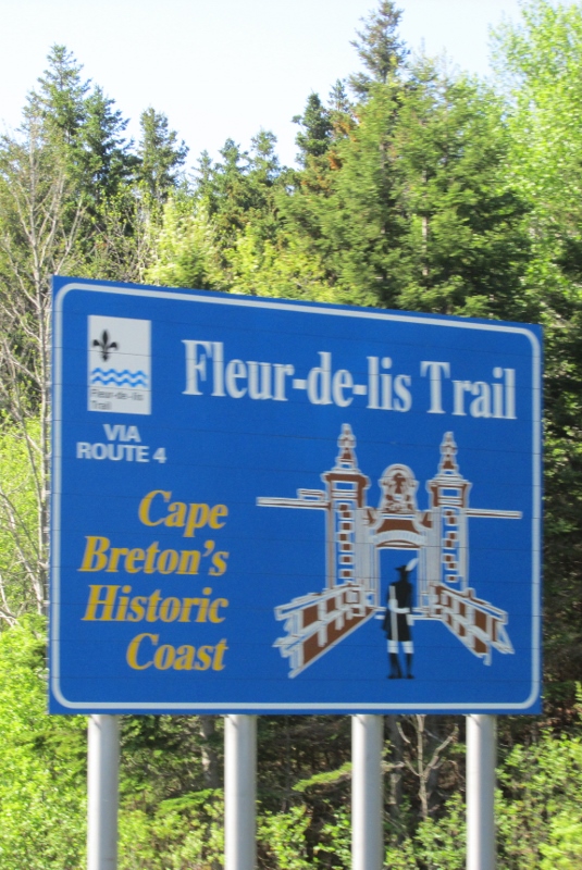 We found more bright signs for towns and attractions, each
with their own little bit of flair!
We found more bright signs for towns and attractions, each
with their own little bit of flair!
As we drove, for the first portion of our travels, we hugged
the coast of St George's Bay.
The bay measures approximately 16 miles wide at its mouth. St
George's Bay marks the northern end of the Strait of Canso, one of three
outlets for the Gulf of St Lawrence. It is a busy coastal shipping route on
account of the Canso Canal. The name Canso came from the Mi'kmaq word kamsook
which means "opposite the lofty cliff", referring to the steep cliffs
of Chedabucto Bay. This area was identified in 1686 as Canseau on
Jean-Baptiste-Louis Franquelin's first map of Acadia, though a later map
referred to the Straits of Canceaux, a slightly different spelling. In 1749,
Surveyor General Charles Morris introduced the current spelling. Port Hastings was
designated as the spot for a connecting bridge that was commissioned to be
built in 1902, but was never completed. During World War II, the Strait was
shipping shortcut to the Atlantic. When Newfoundland joined Confederation in 1948,
the issue of connecting the new province to the rest of Canada, required a
connecting bridge. Engineering studies suggested that ice in the Strait would
quickly damage any bridge and construction began on a causeway in 1952 and was
completed in 1955 at a cost.

The causeway links the island of Cape Breton with the Nova
Scotia mainland, across the Canso Strait. It replaced the ferry. The causeway
is 3,500 feet long, and fills the Canso Strait to a depth of 213 feet, making
it the deepest causeway in the world.

Its crown is 130 feet wide and its base is 800 feet wide,
and its construction required just over 10 million tons of rock for its
construction. The mountain face closest to the causeway was used to excavate
the rock needed to build the causeway. There is a swing bridge at the Cape
Breton side for ocean traffic.

We entered Cape Breton, we used a roundabout to exit Hwy 104
onto Hwy 105 into Glendale.

Glendale’s welcome sign boasts that it is ‘home of the first
fiddler’s revival.’ How did that happen? In February, 1972, a CBC documentary
entitled The Vanishing Cape Breton Fiddler was produced by Ron MacInnis. The
premise of this film was the traditional Cape Breton violin music was in a
state of decline, and that it would soon disappear entirely! Reaction to this
documentary was swift and disbelieving. A dedicated group of residents, discussed
the possibility of forming some kind of a fiddlers' festival. The people
decided to proceed with the festival and the Cape Breton Fiddlers' Association
began. Because of the efforts of this determined group, the first Festival of
Cape Breton Fiddling was held in Glendale in July 1973. Over one hundred and
thirty proud Cape Breton fiddlers arrived in Glendale that weekend and gave one
of the greatest concerts ever witnessed in Cape Breton. Several thousand people
made up the audience. The festival continues annually in early July.

Highway 105 travels northeast from Port Hastings along the
base of a group of mountains known as "The Big Ridge" to Whycocomagh.
Whycocomagh is in the central part of Cape Breton Island. The community sits on
the northwestern shore of St. Patrick's Channel, an arm of Bras d'Or Lake.
Whycocomagh is a Mi'kmaq word which means "Head of the Waters."
Nearby is a Mi'kmaq reserve where wooden sculptures and baskets are made. The
community is bisected by the Skye River, with the Whycocomagh and We'koqma'q
First Nations (a Mi'kmaq community, located west of the river, whereas the
community of Whycocomagh is located east of the river and is dominated by
descendants of English and Scottish settlers who came to the area in the 18th
and 19th centuries; these settlers took to calling the area. Highway 105, the
Trans-Canada Highway, runs along the Bras d’Or Lake shore through the area. The
beauty of Whycocomagh was noted by Alexander Graham Bell, who is known to have
stated that "Whycocomagh is the Rio de Janeiro of North America" due
to the picturesque island off its shores.
The Farmer’s Daughter Country Market, in Whycocomagh,
recently drew families to Cape Breton by a Facebook ad promising a job and free
land. The three families were drawn from across the country to new lives in
Cape Breton thanks to a Facebook ad by the Farmer's Daughter Country Market.
The ad promised free land for labor and a chance to become part of a small
rural community. The business received several thousand responses to the
Facebook ad from around the world. The business selected three families,
ironically all of them were from British Columbia. Talk about a unique way to
get employees!

Highway 105, then follows the north shore of Bras d'Or Lake,
bypassing Baddeck. Baddeck is a picturesque, vibrant little village right in
the heart of Cape Breton Island set on the shores of the great inland sea known
as the Bras d’Or Lakes. Baddeck is widely known as ‘the beginning and end’ of
the famous Cabot Trail, a magnificent scenic drive along some of the most
stunningly beautiful coastline in the world! In Baddeck, you can experience local
attractions such as: the Alexander Graham Bell National Historic Site, the Usige
Bann Falls and of course, exploring the Cabot Trail. We will enjoy a few of
these later on our caravan.

St. Patricks Channel runs roughly in a northeast to
southwest direction from the village of Baddeck to Little Narrows where it
joins Whycocomagh Bay. The channel's shores are generally heavily wooded and
consist mainly of bold & rocky shorelines interspersed with distinctive
white gypsum outcrops and barrier points and beaches. As the channel is part of
the Bras d'Or Lake system and the lake is essentially a fiordal system
connected to the Atlantic via two channels. The waters of St Patricks Channel
are brackish, partially fresh and salt water. By 1829 the shores and rivers of
St Patricks Channel were all settled, chiefly by Scottish emigrants.

Highway 105 is still running in a general northeast
direction, at St Anns the highway begins ascending the west slope of Kelly's
Mountain, to an elevation of 1,475 feet. We skirted the town of St Ann’s along
Highway 105. I will come back to St Ann’s later in my blogging. Kelly’s
Mountain is known for both its scenic view from the top and its steep slope on
both sides of the mountain highway. There is a parking space at the top known
as the Bras d'Or Look Off that gives a view of Seal Island Bridge, Great Bras
d'Or channel and Boularderie Island, areas where the highway travels after the
driver descends the eastern portion of the Highway. It descends the east slope
of Kelly's Mountain using a series of sharp turns including a 180° hairpin turn
at New Harris Forks before crossing the Great Bras d'Or Channel of Bras d'Or
Lake on the Seal Island Bridge.

We crossed Big Seal Island Bras D’Or Bridge, which is over
one of the three inlets from the Atlantic Ocean. This inlet is 800 feet deep.
It is an arch truss design and crosses the Great Bras d’Or channel of Bras d’Or
Lake, connecting Boularderie Island on the south side with Cape Breton Island
on the north side. With the third longest bridge span in the province, the Seal
Island Bridge opened in 1961 as part of the Trans-Canada Highway project. The
structure carries 2 traffic lanes of Highway 105 as well as a sidewalk on each
side. The bridge crosses part of the channel on a causeway connecting the north
shore of the channel to Seal Island. It consists of eight steel truss spans: a
main arch of 500 feet, two side spans of 350 feet, and five approach spans of 250
feet.

Highway 105 crosses Boularderie Island and then runs
southeast through the village of Bras d'Or. Bras D’Or is called Canada’s Inland
Sea. It is a salt-water estuary watershed with three passages to the Atlantic
Ocean. The Holocene transgression flooded a complex river-lake system of
diverse geology, creating a small, deep inland sea with 12 significant
watersheds draining both highlands and lowlands. The differential erosion has
resulted in steep hills around the lake and peninsulas within it, which divide
the estuarine ecosystem into five, long, deep channels in the north half of the
lake and a number of bays in the south.

We crossed the bridge over Mill Creek just before the
campground, this is also an inlet from the Atlantic Ocean, but it is 1,000 feet
deep. The look of the bridge makes the depth of the inlet deceiving.

We arrived at Arm of Gold Campground, our temporary home for
the next two days.

The “barn” they use for the recreation hall is deceiving. It
looks like a simple barn from the outside, but once you are inside you are
amazed! I’ll let the pictures speak for themselves!


We enjoyed a hearty Cape Breton welcome from a local fiddle
player, Jennifer Roland. She played with a keyboard accompanist. He was just as
good as she was, but her fiddle playing was extraordinary! She played
traditional Cape Breton fiddle tunes and a few that she had written!

Nothing beats an awesome day, than an extraordinary sunset!
No comments:
Post a Comment